
A Ride Through Arkansas History: Rickey Kelley’s Jonesboro-to-Dumas Motorcycle Route
There are motorcycle rides you remember because of the roads, rides you remember because of the food, and rides that stay with you because of the people and history you meet along the way. This Arkansas Delta motorcycle route managed to bring all three together.
As part of our summer riding route series, we have been working with Rickey Kelley, founder of the Let’s Ride Arkansas group, to share fun routes that give riders a reason to get out and explore more of The Natural State. Rickey has ridden more than 400,000 miles since 2005, so when he maps out a full day on two wheels, you know there is a story behind every turn.
For this ride, Rickey was joined by his son-in-law, Will. Their route began in Jonesboro, traveled through several Arkansas state parks and historic sites, made time for legendary barbecue in Marianna, and ended with a memorable steak dinner near Dumas. After dinner, they still had roughly 160 miles to ride home, including several miles through rain, darkness, and a lightning-filled Arkansas sky.
This was not simply a ride from one destination to another. It was a full day built around history, food, unexpected connections, and the kind of experiences that make motorcycle travel special.
Starting South from Jonesboro
Rickey and Will began by taking Arkansas Highway 163 south out of Jonesboro. From Highway 163, the route meets Highway 14. Turn left and travel east for approximately half a mile before continuing south on Highway 163 toward the first stop of the day, Lake Poinsett State Park.
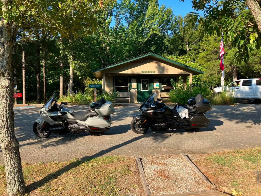
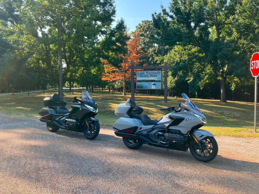
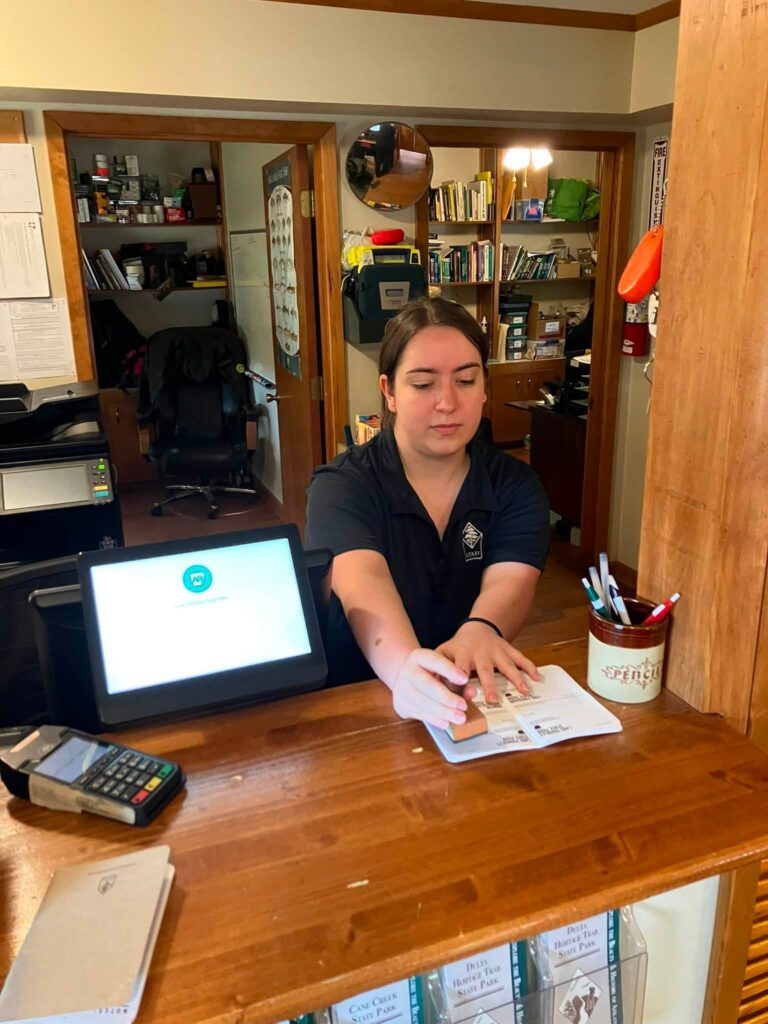
Located along Crowley’s Ridge, Lake Poinsett State Park is a peaceful first stop with lake views, camping, fishing, and short hiking trails. It is also Arkansas’s twentieth state park. Rickey and Will brought their Arkansas State Parks passports along and had them stamped by a friendly member of the park staff.
The passport adds another layer of fun to a route like this. Riders can collect a stamp at each Arkansas state park visitor center and keep a record of the places they have explored. With several parks included in this loop, this ride gives passport collectors a great opportunity to add multiple stops in one day.
A Meaningful Stop at the Arkansas State Veterans Cemetery
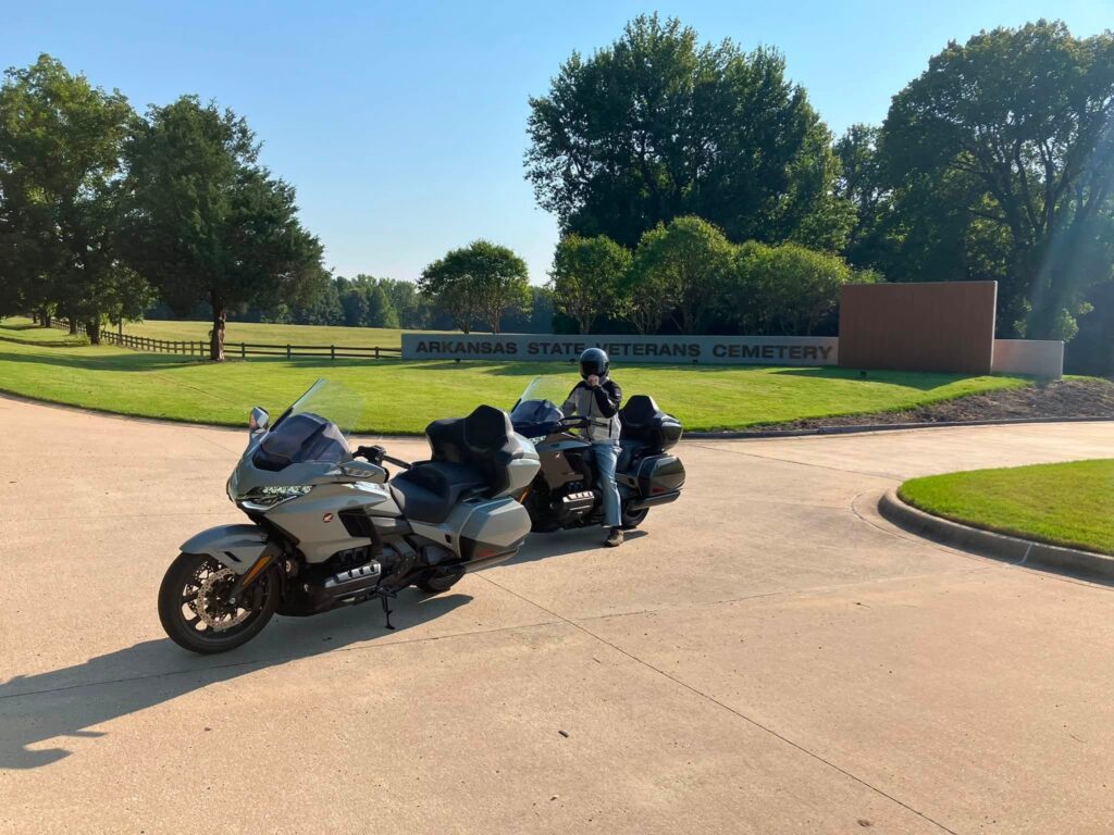
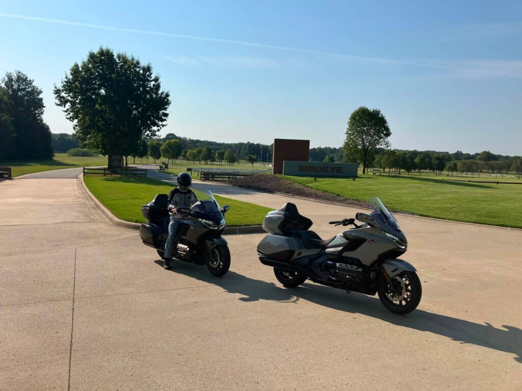
From Lake Poinsett, continue south on Highway 163 to the Arkansas State Veterans Cemetery at Birdeye.
This is a stop that deserves time, respect, and reflection. The 100-acre cemetery accepted its first interment in February 2012, when Air Force veteran Colonel Thomas Blake was laid to rest. Colonel Blake had helped lead the committee that selected the land for the cemetery.
For Rickey and Will, visiting the cemetery gave the day a deeper meaning. Motorcycle routes are often planned around curves, scenery, and meals, but some of the most memorable stops are the quiet ones. The cemetery is a beautiful and dignified place to pause and honor the Arkansas veterans and families represented there.
Village Creek State Park and the Trail of Tears
After leaving Birdeye, continue south on Highway 163 to Highway 64. Follow Highway 64 to Highway 64B, then take Highway 284 south to Village Creek State Park near Wynne.
Rickey and Will were able to get their state park passports stamped during this stop.
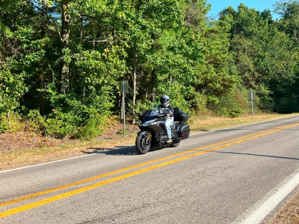
Village Creek is one of the most historically significant stops on the route. The park preserves a remarkably intact portion of the Trail of Tears along the Old Military Road Trail.
Today, visitors can walk through the sunken remains of that road and experience a place where Arkansas scenery and difficult American history meet. The park is also located on Crowley’s Ridge and offers lakes, trails, camping, cabins, and other outdoor activities if you want to turn this route into a longer trip.
Legendary Arkansas Barbecue in Marianna
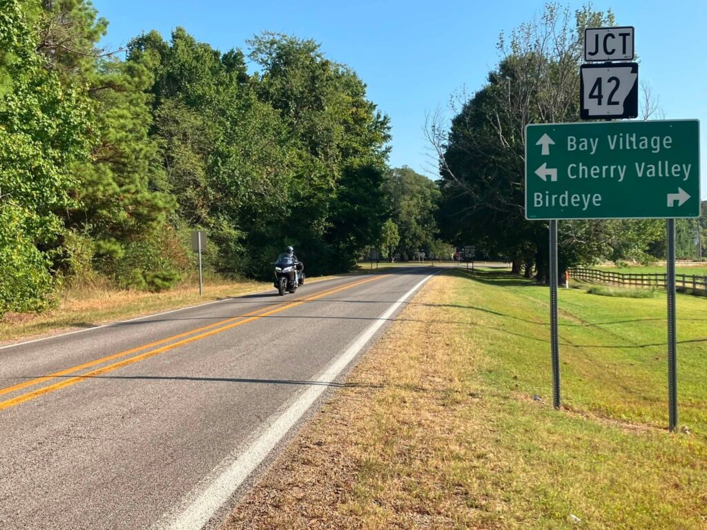
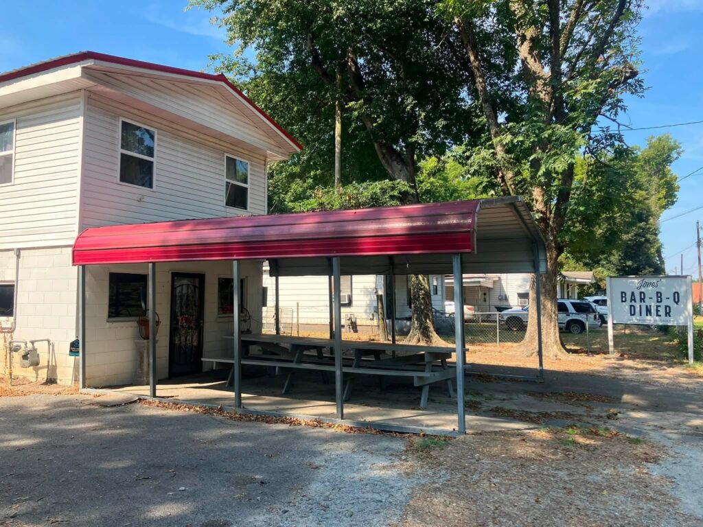
Continue south on Highway 284 until it meets Highway 1 in Forrest City. Take Highway 1 south into Marianna. At the second traffic light, turn left onto Alabama Street, then turn left again onto West Louisiana Street. Jones Bar-B-Q Diner will be just down the street on the right.
This small barbecue stop carries more history than its unassuming exterior might suggest. The Jones family’s barbecue tradition dates back to at least the 1910s, making Jones Bar-B-Q one of the oldest continuously operating restaurants in Arkansas.
In 2012, Jones Bar-B-Q received a prestigious James Beard Foundation America’s Classics Award, becoming the first Arkansas restaurant to receive a James Beard Award. The restaurant was also inducted into the inaugural Arkansas Food Hall of Fame in 2017.
The experience is refreshingly simple. Jones Bar-B-Q is known for chopped pork barbecue, sandwiches, and slaw, with food served until it sells out. Riders planning this stop should check current operating information and arrive early. This is one of those destinations where the history, the people, and the food are all part of the experience.
Jones Bar-B-Q also gave Rickey and Will one of the best stories of the entire ride.
The Couple They Met Twice
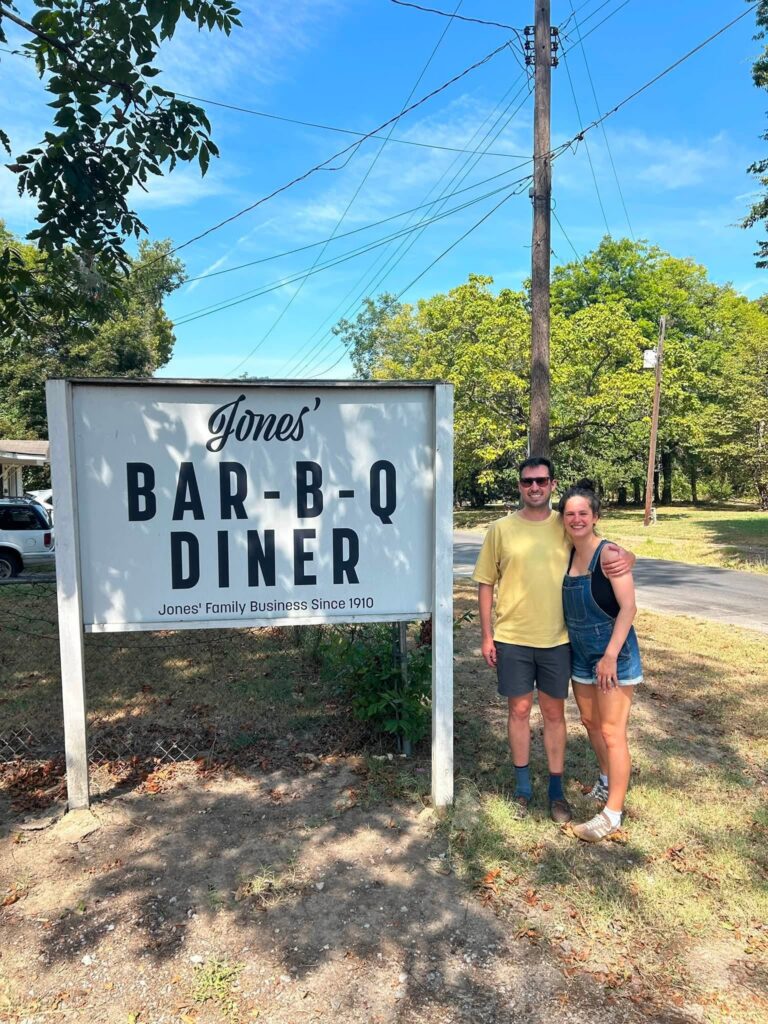
While at Jones Bar-B-Q, Rickey noticed another couple from Jonesboro and wished he had taken their picture and told them about the route he and Will were riding.
At that moment, it seemed like a missed opportunity.
Then, more than seven hours later and many miles down the road, Rickey and Will walked into Taylor’s Steakhouse near Dumas for their 6:30 p.m. reservation. The same woman immediately recognized them and called out, “Hey!”
The couple lived in the Dominican Republic and were in Arkansas visiting family in Jonesboro. Once Rickey explained the Let’s Ride Arkansas group and the blog, she texted over the photo and joined the group.
Think about the chances of that happening. They crossed paths at Jones Bar-B-Q around 11 that morning, followed separate plans for the rest of the day, and somehow walked into the same out-of-the-way steakhouse at the same time that evening.
That unexpected reunion became one of the most meaningful parts of the trip. It is also a perfect example of why Rickey rides. The road introduces you to people you may never have met otherwise, and sometimes it gives you a second chance to make the connection.
Into the Delta at Louisiana Purchase State Park
From Marianna, take Highway 79 west to Highway 39 south. Continue to Highway 49 south, then turn onto Highway 362, which leads to Louisiana Purchase State Park.
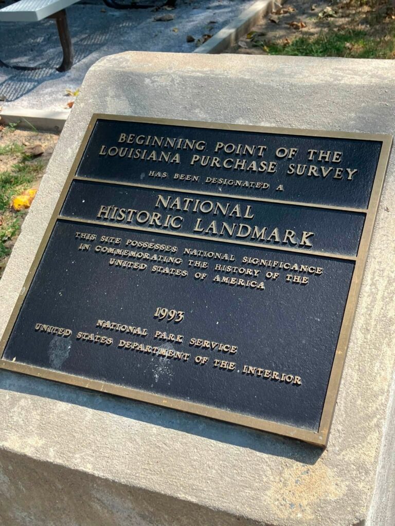
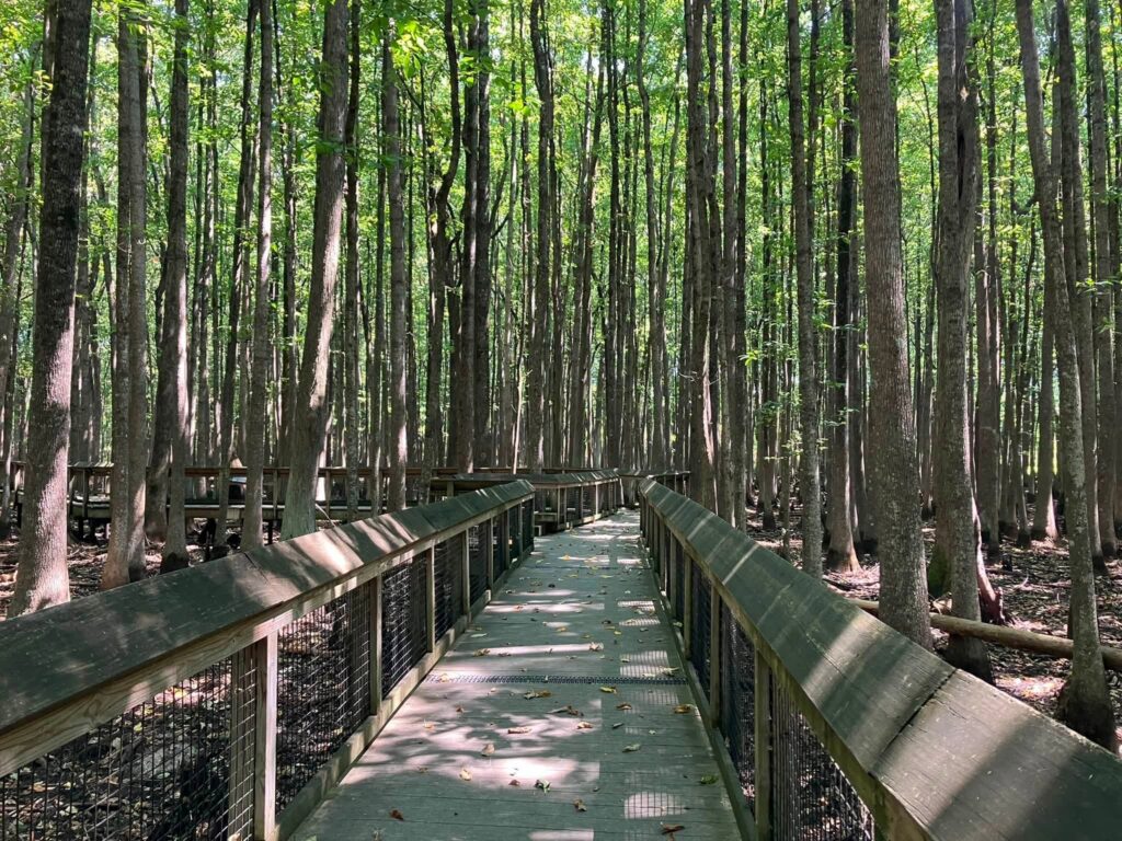
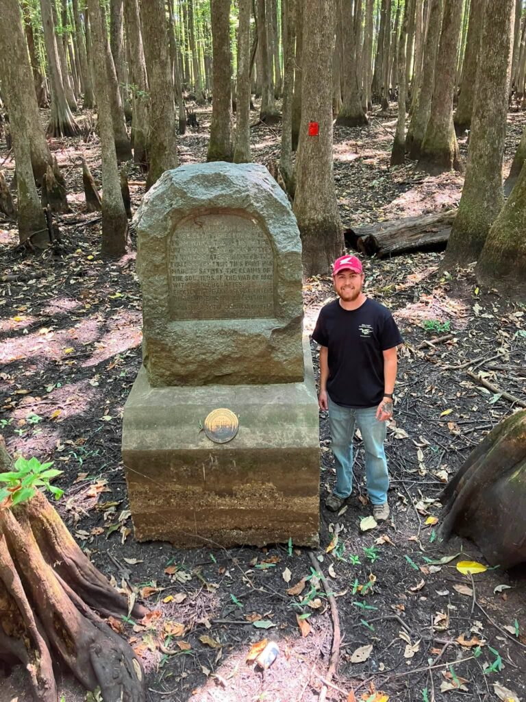
This small park protects one of the most important survey points in American history. A 950-foot elevated boardwalk travels through a rare headwater cypress swamp to a granite monument marking the initial point used to survey the land acquired through the Louisiana Purchase of 1803.
Survey crews led by Prospect Robbins and Joseph Brown established the point in 1815. From that location, land throughout the Louisiana Purchase was measured and divided. In other words, this quiet Arkansas swamp became the starting point for property surveys across a massive portion of the American West.
The walk is short, accessible, and filled with interpretive signs explaining both the survey and the surrounding ecosystem. It is worth getting off the motorcycle and taking the time to follow the boardwalk all the way to the monument.

Delta Heritage Trail and the Ride Toward Helena
After leaving Louisiana Purchase State Park, take Highway 49 back toward the Delta Heritage Trail State Park and continue in the direction of Helena-West Helena.
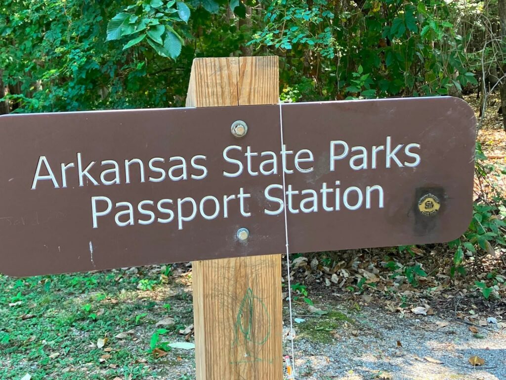
The Delta Heritage Trail is a rail-to-trail project stretching through some of eastern Arkansas’s most remote Delta scenery. Although the trail itself is designed for walking and bicycling rather than motorized travel, it makes a worthwhile state park stop and another opportunity to collect a passport stamp.
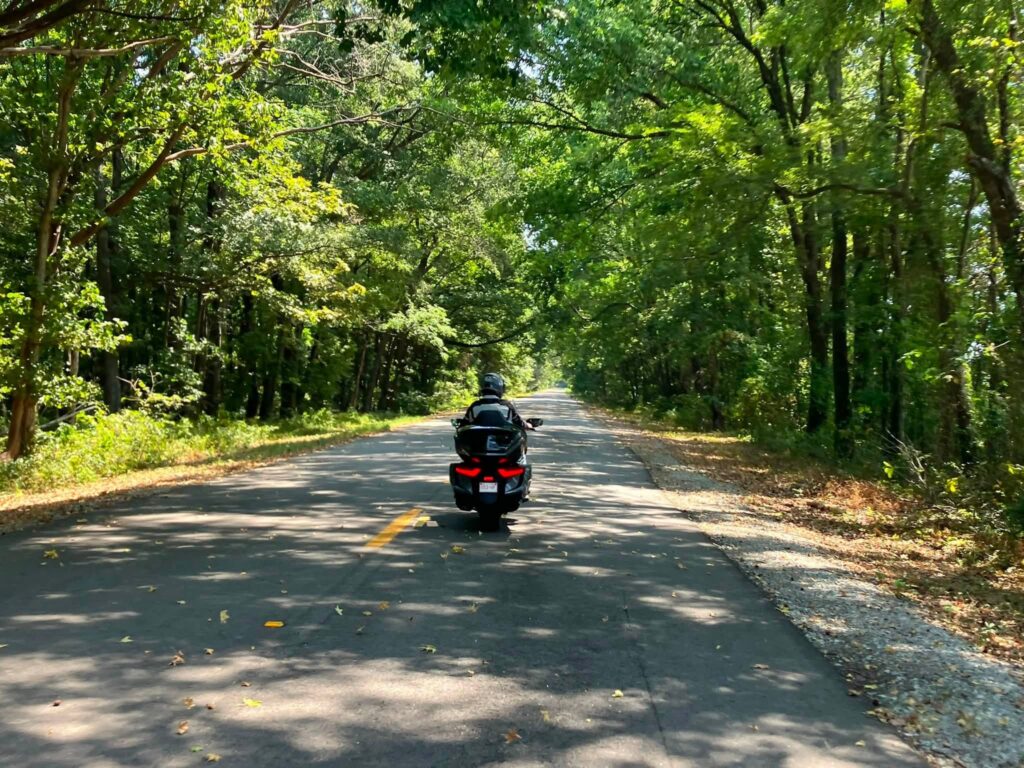
This part of the route carries riders through a side of Arkansas that can feel completely different from the Ozark roads many Northwest Arkansas motorcyclists know best. The Delta’s flat farmland, wetlands, small towns, and long views create their own kind of riding experience.
Storm Creek Road, the Baseline Trail, and Mississippi River State Park
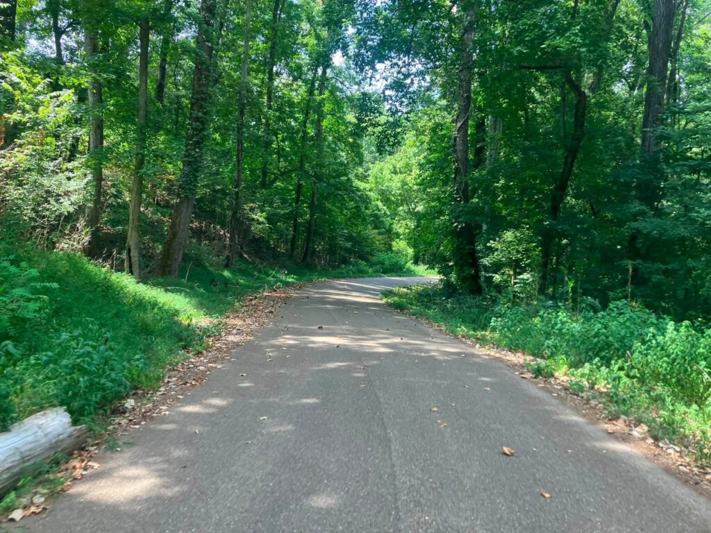
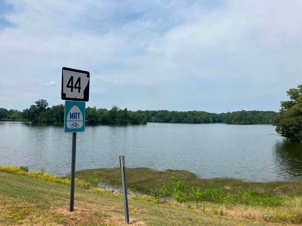
In Helena-West Helena, take Highway 49B and watch for Highway 242 on the left. From there, follow the signs toward Storm Creek. Rickey notes that the road numbers change along this portion of the route, but the road remains paved and eventually leads to Bear Creek and Highway 44.
This is a section where riders should have the route loaded into their preferred navigation app before leaving and verify current road conditions along the way.
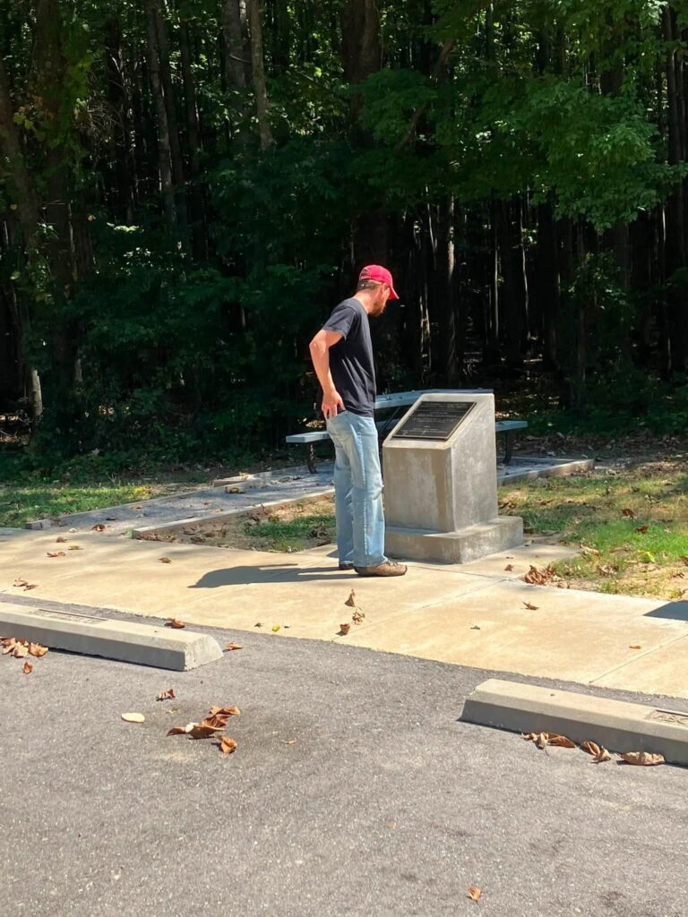
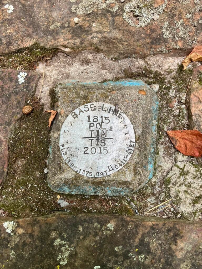
Along this road, Rickey and Will stopped at another site connected to the Louisiana Purchase survey, the Louisiana Purchase Baseline Trail. A short walk takes visitors into the history of the baseline that helped survey the new territory. Paired with the earlier monument in the cypress swamp, this stop helps tell more of the story of how an enormous stretch of land was mapped from an Arkansas starting point.
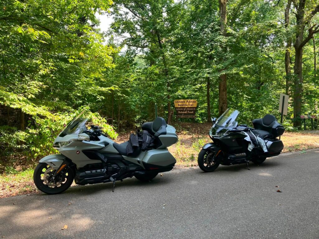
Louisiana Purchase Baseline Trail in the Ozark-ST. Francis National Forest.
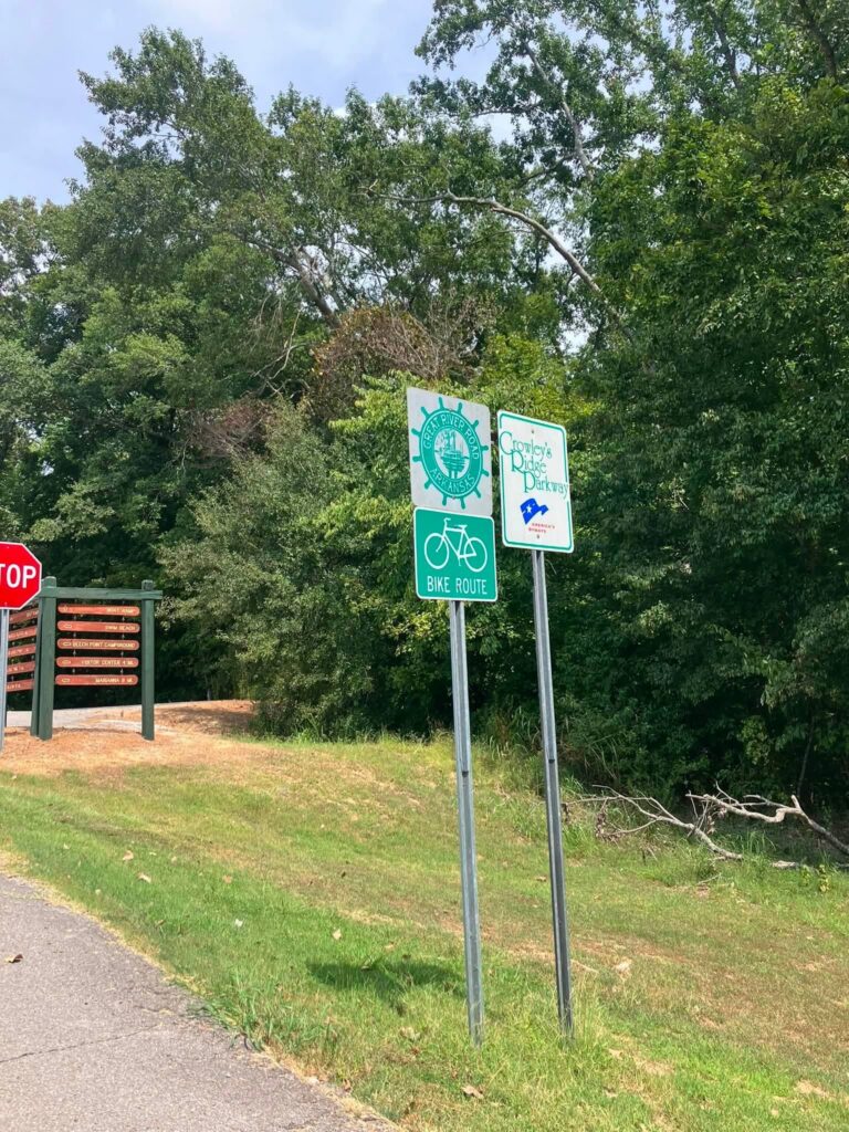
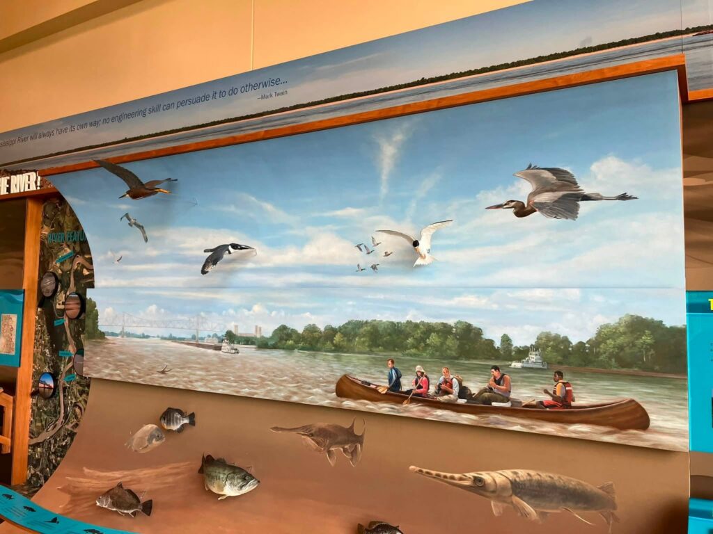
Once you reach Highway 44, continue to Mississippi River State Park. The park sits where Crowley’s Ridge, the Arkansas Delta, and the Mississippi River meet. It provides access to the St. Francis National Forest, three lakes, hiking trails, and two nationally recognized scenic byways: the Great River Road and Crowley’s Ridge Parkway.
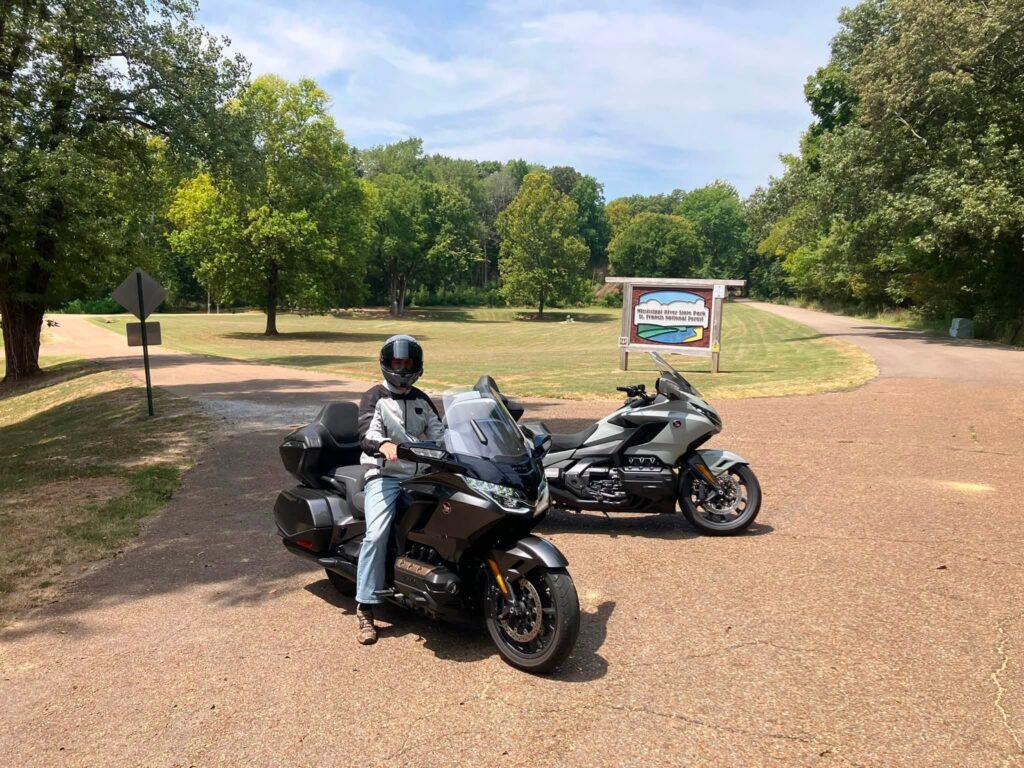

This is the kind of stop that can be as quick or as long as your schedule allows. You can stretch your legs, explore the visitor center, take in the scenery, or make notes for a future camping and riding trip.

Saving Taylor’s Steakhouse for the End
Rickey planned the route as a loop for a reason. He and Will passed closer to Dumas earlier in the day, but Taylor’s Steakhouse does not open until 5:30 p.m., and they had a 6:30 reservation. Rather than rush south and spend hours waiting, they used the day to explore more parks, roads, and historic locations before dinner.
For the quickest route from Marianna to Taylor’s, take Highway 1 south to Highway 165 south. In Dumas, turn right onto Highway 54. Taylor’s Steakhouse is located a few miles outside the city on the left.
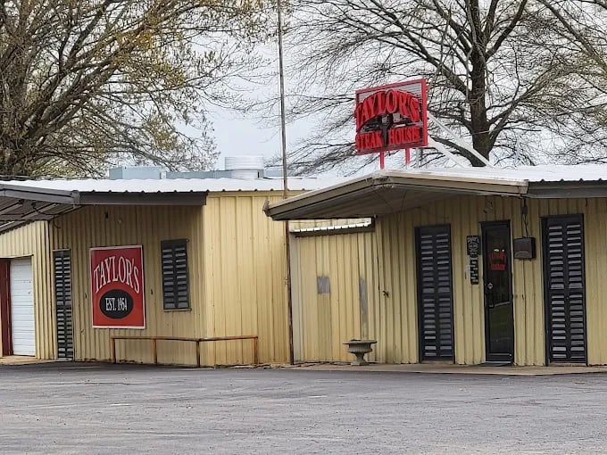
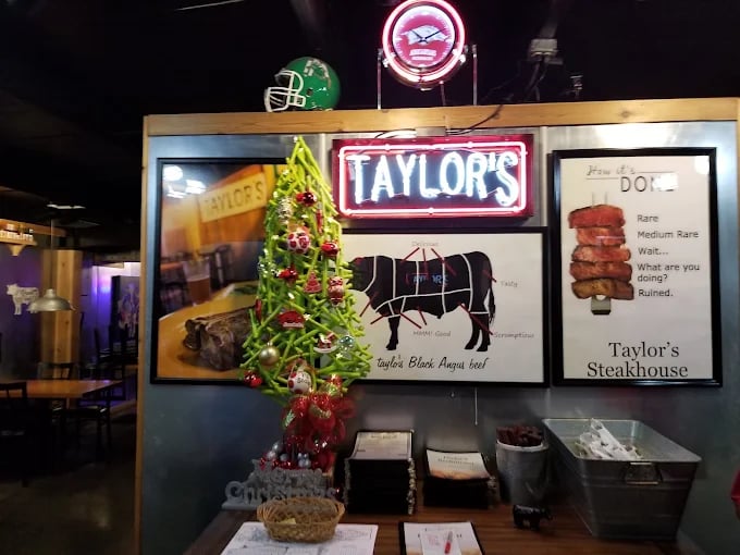
From the outside, the building may look more like a shop than the setting for a special dinner. Step inside, however, and the experience changes completely. Taylor’s has deep roots in the Dumas area, with a local history stretching back to the 1950s. It has become a destination restaurant known for its steaks and polished interior.
Reservations are needed, and riders should prepare for an upscale price. Rickey and Will spent about $250 for their dinner, including the tip. Rickey still describes it as one of the best steaks you will have and a fitting final destination after a full day on Arkansas roads.
The Ride Was Not Over After Dinner
Leaving Taylor’s did not mean the adventure was finished. Rickey and Will still had about 160 miles between them and home.
Part of that return ride came in darkness, rain, and a storm that lit the sky with lightning. Some riders avoid nighttime travel and will not ride in the rain unless they have no other choice. Rickey sees those miles differently.
To him, riding in changing conditions is exciting, and it builds real experience for the moments when weather catches you away from home. That does not mean taking unnecessary risks. It means knowing your abilities, maintaining your motorcycle, carrying the right gear, slowing down, increasing your following distance, and being willing to stop when conditions become unsafe.
For Rickey, those wet miles beneath the lightning-filled sky became one more part of a day worth remembering. You have to love the entire ride, not just the easy stretches.
Plan This Arkansas Motorcycle Route for Yourself
This route is ideal for experienced riders who enjoy full-day motorcycle trips, Arkansas history, state park passport stops, local restaurants, and roads that lead somewhere meaningful.
Before you leave:
- Confirm current hours and availability at Jones Bar-B-Q, where food can sell out early.
- Make a reservation at Taylor’s Steakhouse and verify its current operating days and hours.
- Load the entire route into your navigation app, especially the section near Storm Creek where road numbers change.
- Check the weather and leave prepared for heat, rain, darkness, and changing road conditions.
- Carry water, rain gear, a phone charger, and basic roadside essentials.
- Allow extra time for state park passport stamps, short walks, photographs, and conversations along the way.
- Treat the Arkansas State Veterans Cemetery with the quiet respect the location deserves.
At Heartland Honda in Springdale, we love routes that remind riders how much there is to discover across Arkansas. Whether you are riding a Honda Gold Wing, Rebel, Shadow, Transalp, Africa Twin, CB motorcycle, or another street bike you trust for a long day, the best rides are often the ones that give you stories to bring home.
Thank you to Rickey Kelley for sharing the route and the meaning behind it, and to Will for joining him for every park, meal, mile, and storm along the way. After more than 400,000 miles since 2005, Rickey is still finding new stories on Arkansas roads, and he is helping the rest of us find them too.
Check your motorcycle, invite someone you enjoy riding with, and go see where this Arkansas Delta route takes you..
Quick Route Guide
- Start in Jonesboro and take Highway 163 south.
- Turn left onto Highway 14, travel east for about half a mile, then continue south on Highway 163.
- Stop at Lake Poinsett State Park.
- Continue south on Highway 163 to the Arkansas State Veterans Cemetery at Birdeye.
- Follow Highway 163 to Highway 64, then take Highway 64B to Highway 284 south.
- Stop at Village Creek State Park.
- Continue south on Highway 284 to Highway 1 in Forrest City.
- Take Highway 1 south to Marianna. Turn left onto Alabama Street, then left onto West Louisiana Street for Jones Bar-B-Q.
- Leave Marianna on Highway 79 west. Take Highway 39 south, Highway 49 south, then Highway 362 to Louisiana Purchase State Park.
- Return to Highway 49 and stop at Delta Heritage Trail State Park while heading toward Helena-West Helena.
- In Helena-West Helena, take Highway 49B to Highway 242 and follow the signs toward Storm Creek.
- Stop at the Louisiana Purchase Baseline Trail, then continue to Highway 44 and Mississippi River State Park.
- Travel back toward Marianna, then take Highway 1 south to Highway 165 south.
- In Dumas, turn right onto Highway 54. Taylor’s Steakhouse will be a few miles outside the city on the left.